
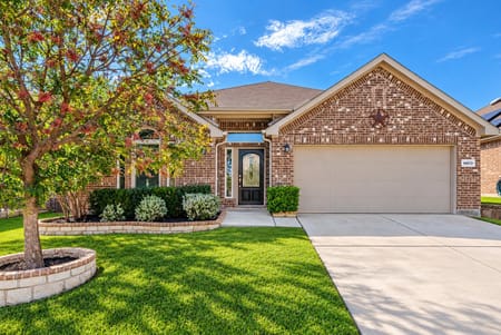



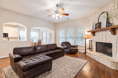
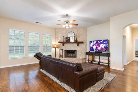
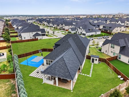
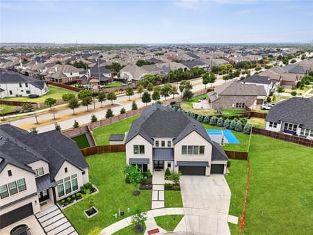
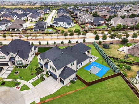


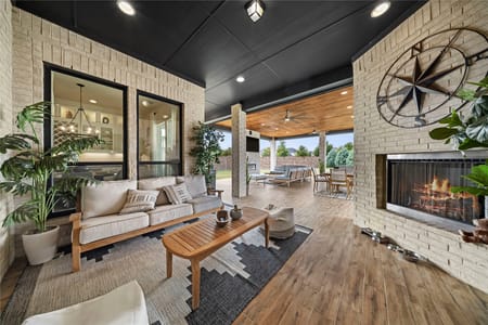


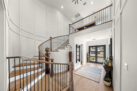

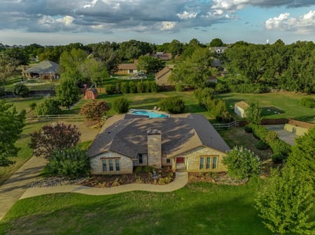
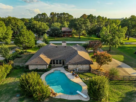




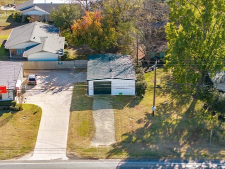
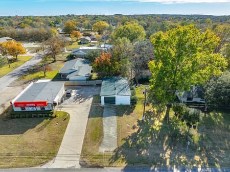
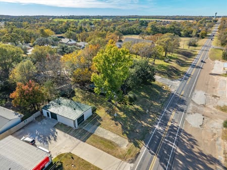
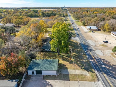
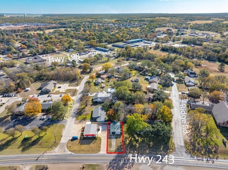
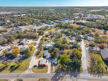
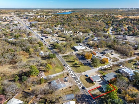
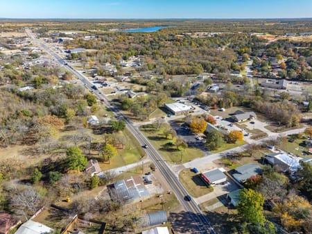
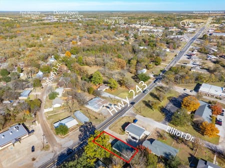
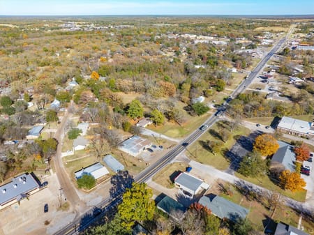
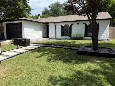
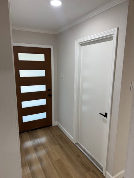
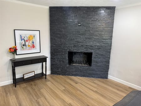
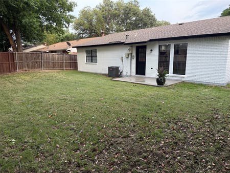
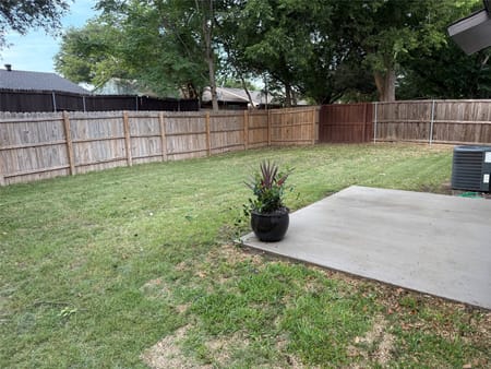
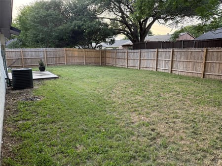










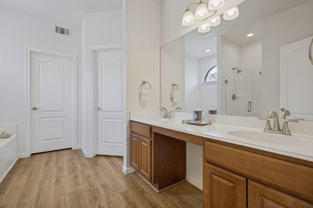

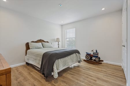

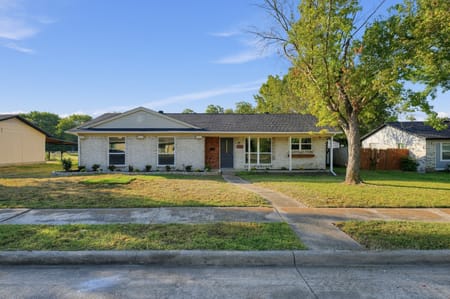


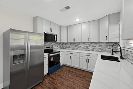
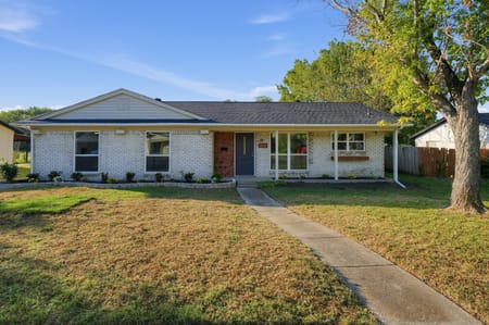
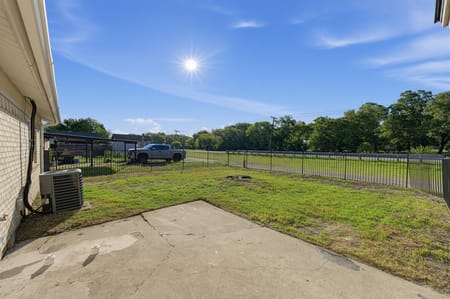
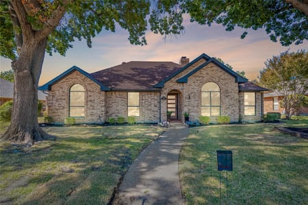
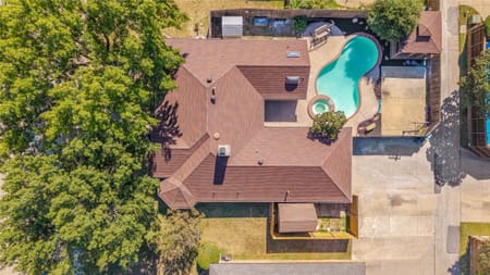
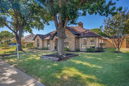

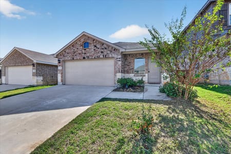
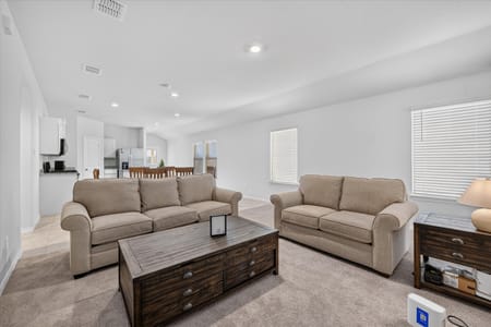
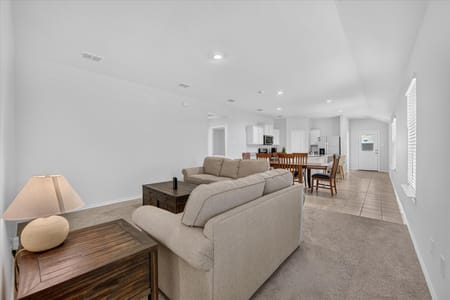

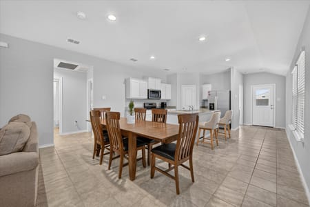
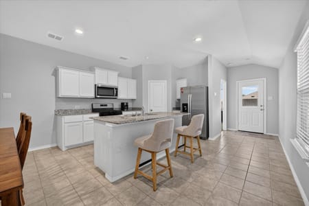
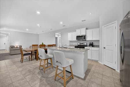
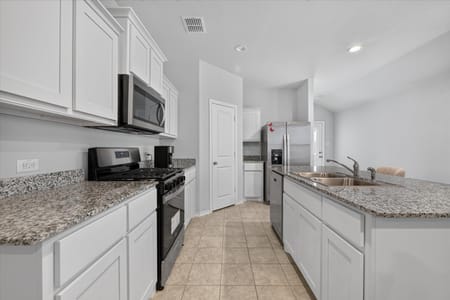
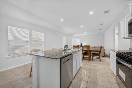
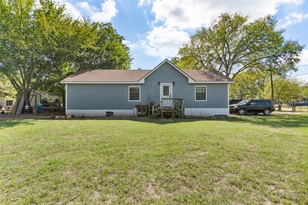
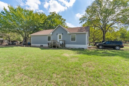
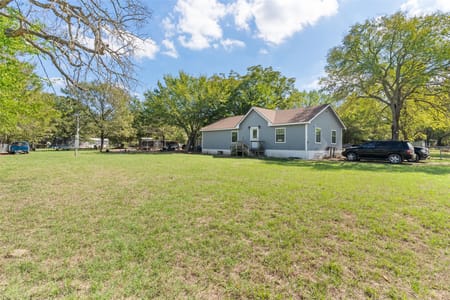
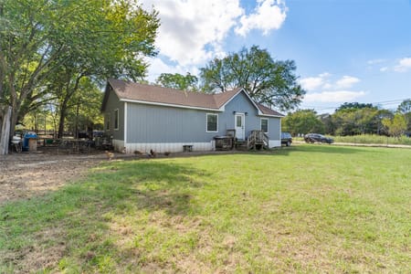

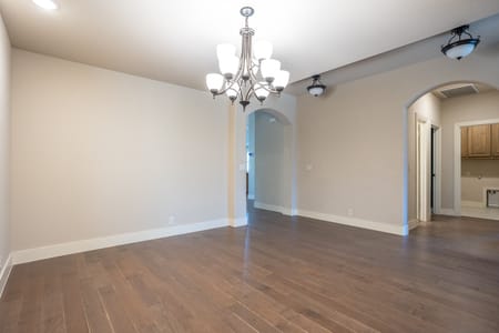
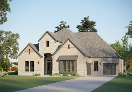
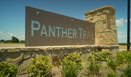
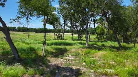
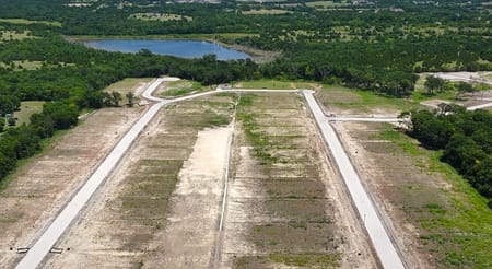
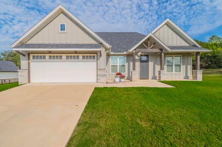
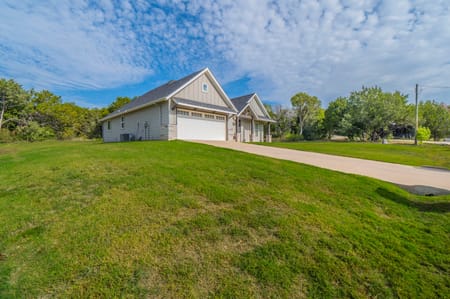


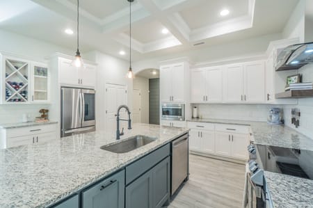

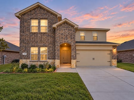
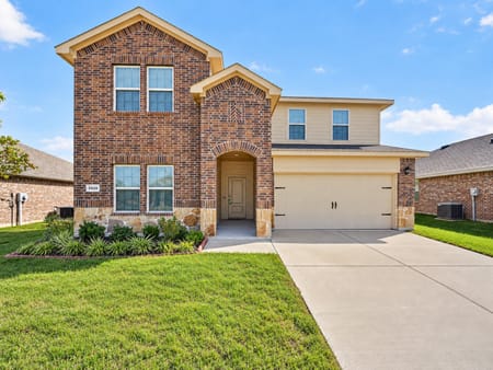
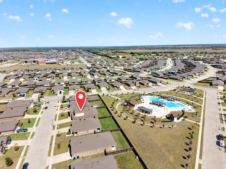

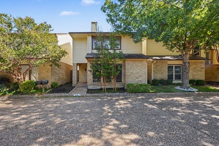
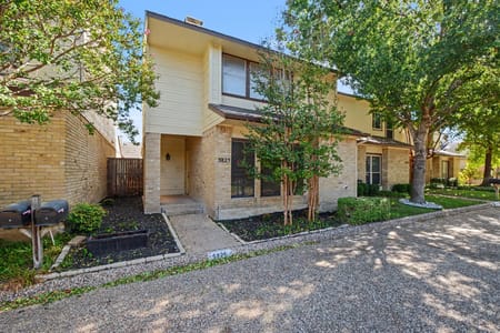
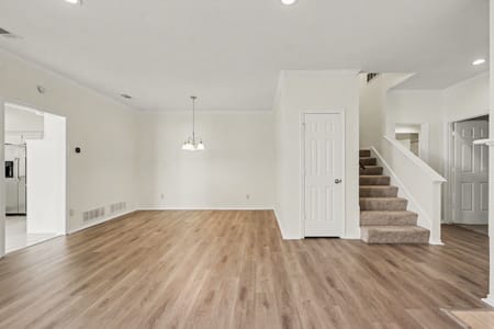

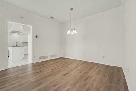

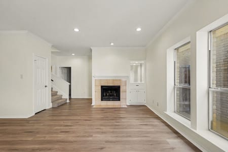
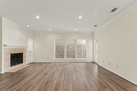
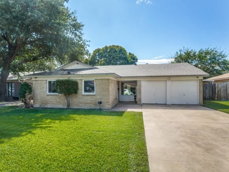
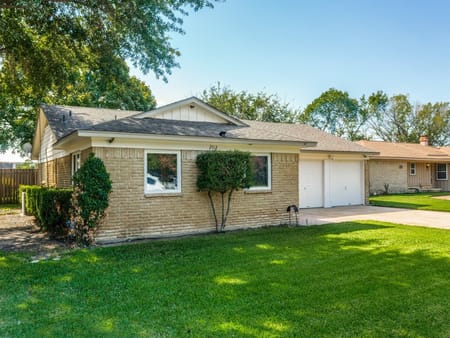
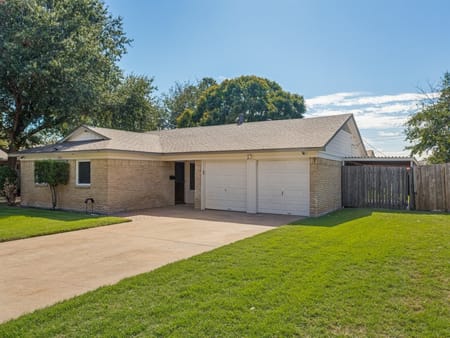
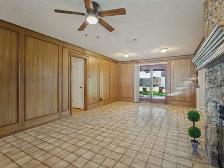
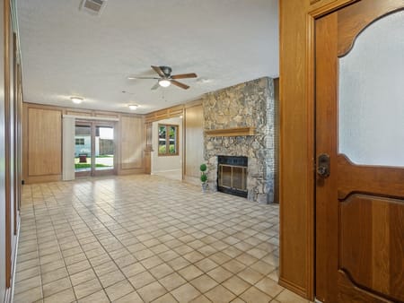
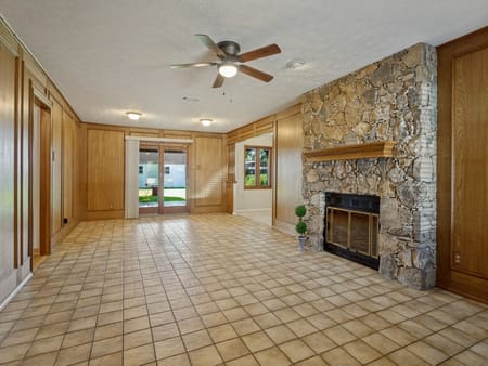
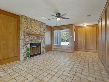
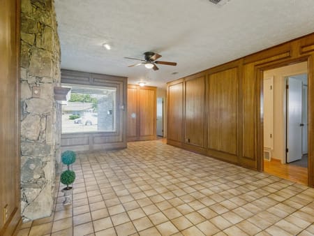
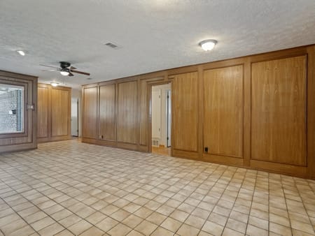
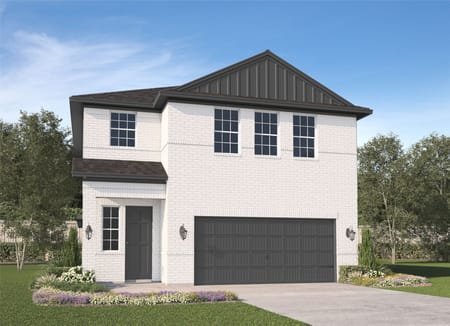
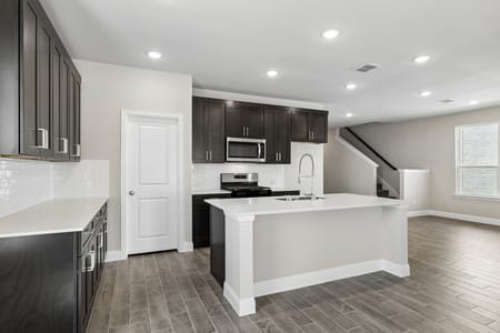
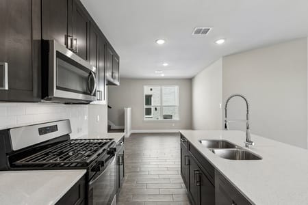
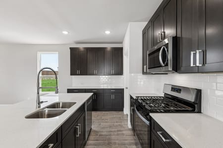
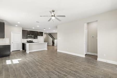
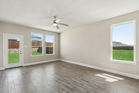


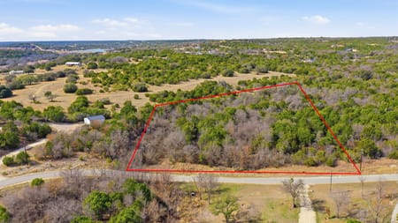
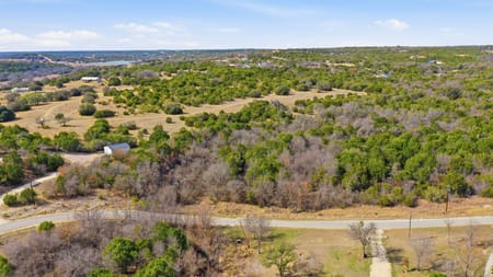
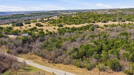
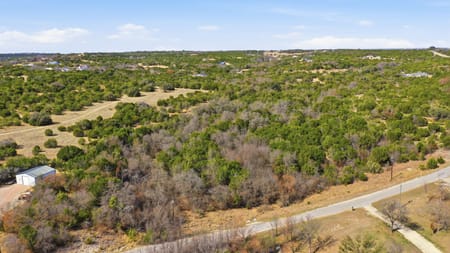
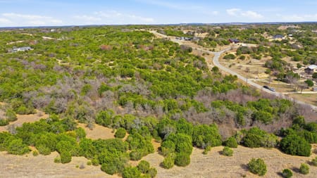
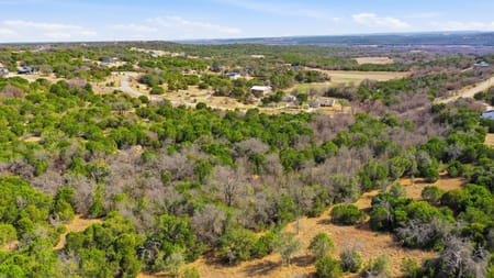
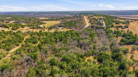
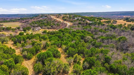
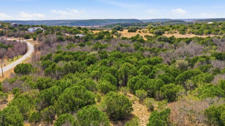
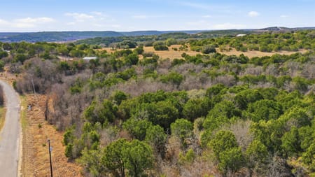
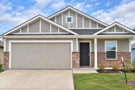
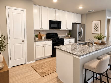
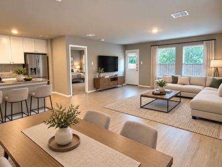





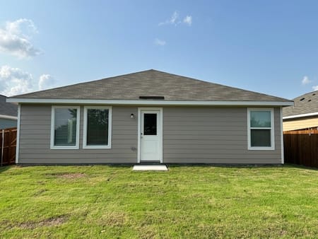
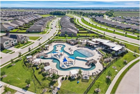
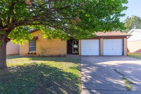
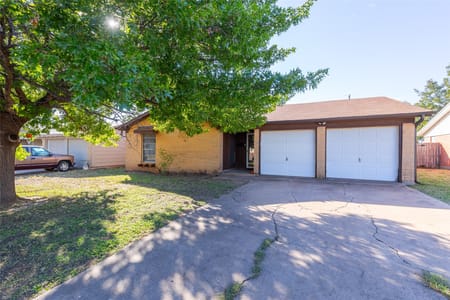

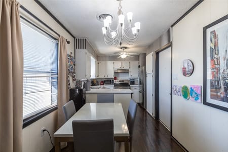

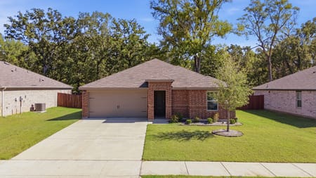
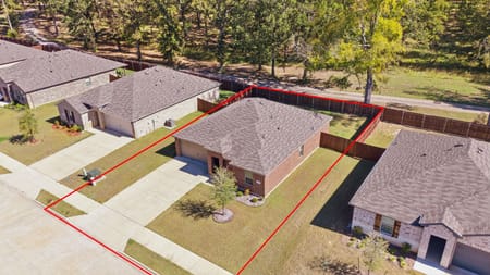
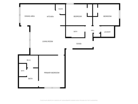




Development land in Texas offers high potential returns, especially in fast-growing areas around Austin, San Antonio, and the I-35 corridor. These listings include raw tracts, cleared acreage, and parcels with existing infrastructure or zoning in place. Whether you’re planning residential communities, commercial projects, or mixed-use expansions, development-ready land in Texas gives you the space and flexibility to meet rising demand. Location and road access are key highlights here.
Frequently Asked Questions
What development land does Mock Ranches list in Texas and what makes a parcel genuinely developable?
Mock Ranches development land listings include residential subdivision tracts in the active growth corridors of San Antonio, Austin, and the Hill Country communities, commercial development parcels on major highway corridors in growing communities, mixed-use acreage near established employment and retail nodes, and rural estate lot subdivision tracts where large ranches are divided into 5 to 50 acre recreational lots for individual sale.
The characteristics that distinguish genuinely developable Texas land from land adjacent to development are five in number:
- Platted or plattable street access from a public road at a permitted TxDOT driveway location is the first and is non-negotiable.
- Available water and wastewater treatment capacity from an existing utility district or a viable alternative plan is the second.
- Soil conditions suitable for standard residential foundation construction without extraordinary engineering are the third.
- Freedom from floodplain encroachment that would prevent building on a substantial portion of the tract is the fourth.
- Absence of existing deed restrictions, conservation easements, or pipeline corridor limitations that would prevent the target development use is the fifth.
Mock Ranches evaluates every development listing on these five criteria and advises sellers honestly about whether their parcel supports the development program they envision.
Which Texas growth corridors are most active for development land buyers right now?
The most active Texas development land corridors in the current market are concentrated around the documented infrastructure expansion and population growth vectors from Austin and San Antonio.
- The IH-35 corridor from San Marcos south through Seguin and Floresville absorbs residential growth driven by both metros simultaneously; Guadalupe and Wilson counties in this corridor have among the most active subdivision approval pipelines in the state.
- The US-183 corridor southeast of Austin through Lockhart and Luling in Caldwell County is receiving data center and logistics investment that is pulling residential growth behind it.
- The San Antonio northwest corridor through Helotes, Boerne, and Fair Oaks Ranch in Kendall County serves high-income San Antonio residential demand driven by USAA, Valero, and military sector employment.
- The IH-10 corridor between San Antonio and Kerrville in Kerr and Kendall counties continues to absorb Hill Country commuter residential development at the premium end of the market.
- DFW outer ring development is most active in Denton, Collin, and Johnson counties where major highway improvements have extended practical commute distance.
Mock Ranches monitors pending utility district formation and TxDOT project environmental assessments to identify which corridors have confirmed infrastructure commitments supporting development versus those still speculative.
What due diligence must a Texas development land buyer complete before closing?
Development land due diligence in Texas requires addressing layers of infrastructure, regulatory, and physical site conditions that routine real estate inspections do not cover.
Water and wastewater confirmation is the first step and requires written documentation from the applicable water utility district or TCEQ on whether new connections are available at the density the buyer’s development program requires, not just that service exists nearby. TxDOT driveway permit feasibility at the target density of vehicle trips per day must be confirmed with the applicable TxDOT district office before assuming highway access, since TxDOT can deny driveway permits or require traffic signals and deceleration lanes that add significant cost to development.
FEMA flood plain mapping determines what percentage of the tract falls in a Special Flood Hazard Area, which directly limits buildable density and increases construction cost. A Phase 1 Environmental Site Assessment confirms no prior agricultural chemical storage, underground storage tanks, or industrial activity that could create buyer liability. ETJ status determines whether the parcel is subject to city subdivision ordinance requirements that impose additional infrastructure standards. Soil bearing capacity testing identifies whether standard slab foundations are feasible or whether pier and beam construction is required. Mock Ranches recommends buyers commission a civil engineer preliminary feasibility report before any development land acquisition above 400,000 dollars.
